A River Valley or a Ridge Route?
River valley or ridge route: compare gradients, visibility and connections to see which path best explains movement through hilly terrain.
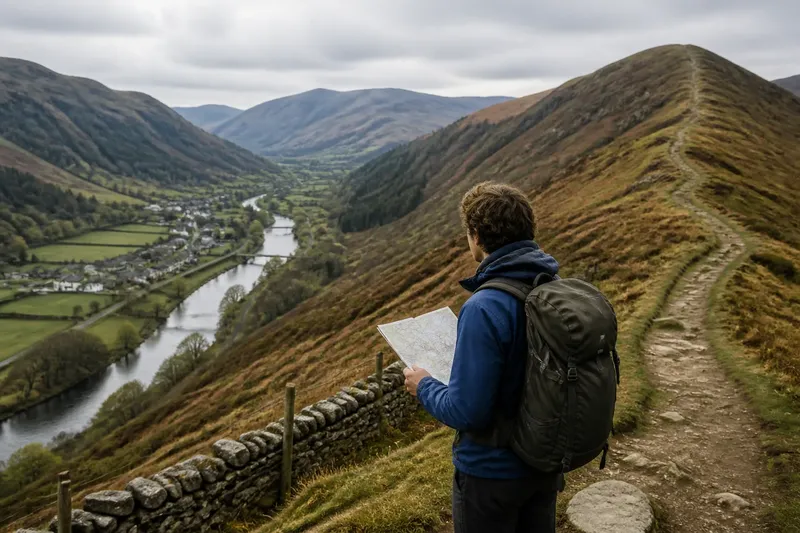
At a bend in a hill road, the valley floor looks like the obvious way onward: level ground, a stream and a line of houses. Above it, a ridge path seems longer and more exposed, yet it may lead straight to a pass. Comparing a river valley or ridge route is not simply a choice between easy and hard. Each reveals a different pattern of movement through hilly terrain.
A route is a line people can follow; a corridor is the broader strip of land that supports movement along it. Valleys and ridges can both act as corridors, but their gradients, visibility and connections differ. Reading those features together helps explain why a route serves one set of journeys well and another poorly.
Two corridor types
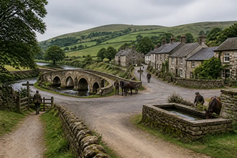
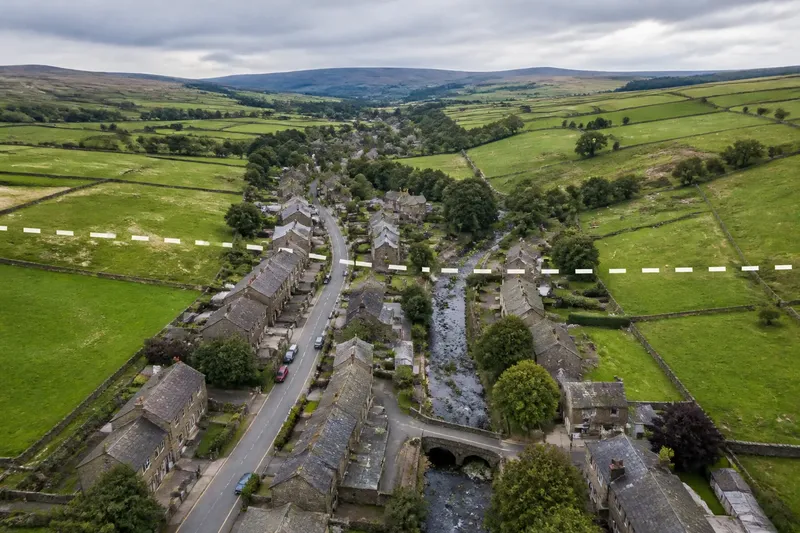
A valley gathers land between higher slopes. Its floor may carry a stream, road, railway or several paths, while tributary valleys join it from the sides. This arrangement can connect scattered places to a shared lengthwise route. It can also make the valley a boundary: crossing from one bank to the other may require a bridge or a detour to a shallower crossing.
A ridge runs along high ground, often dividing neighbouring drainage basins. A route on or near it may link saddles, passes and high points rather than settlements on the valley floor. It can provide a continuous line without repeated descents to a stream, though reaching it from a village below may demand a steep climb.
Neither landform dictates a single road. A route may alternate between valley floor, hillside bench and ridge, following whichever ground offers a workable passage. The useful question is not which feature is the natural route, but which places the line connects and what it asks travellers to cross.
Gradients and effort
Gradient describes how sharply a route rises or falls. A broad valley floor often permits a gentler line, especially where a road or railway stays beside the river. But the apparent flatness may end at a narrow gorge, a floodplain that shifts the road onto a slope, or a tributary mouth that forces a climb.
Ridge routes trade a climb for a potentially steadier course once they reach the crest. A path along a ridge need not descend into every side valley, which can suit someone travelling between distant passes. Yet its approaches can be demanding, and a crest may have sharp rises where the land folds into a sequence of knolls.
To compare effort, trace the whole journey rather than judging one segment. Mark the start and destination, then note the main climbs, descents and points where the route leaves its landform. A valley route may be gentle but indirect if it runs far downstream before turning towards a settlement. A ridge route may be direct between two saddles, but poorly placed for someone starting in a hamlet below.
Transport infrastructure can alter the picture. A tunnel may cut through a ridge, while a road may climb onto a shelf above a river to avoid a cramped valley floor. In such places, engineering explains the route’s gradient as much as the landform does. Compare the mapped line with the terrain rather than assuming a road labelled “valley road” stays beside water.
Visibility and direction
Valley travel often limits the view. Slopes can conceal what lies around the next bend, and the river may be visible only through gaps between trees or buildings. A valley also offers repeated clues about direction: water generally flows downhill, tributaries enter from the sides, and enclosing slopes frame the route.
From a ridge, a traveller may see across several valleys and identify distant saddles, villages or landmarks. This wider view can make it easier to choose a direction or understand how neighbouring areas fit together. But a visible destination may lie across a deep ravine, so a straight line of sight does not show whether a usable path connects the two.
Visibility is not the same as access. A ridge may help someone survey a landscape, while a valley may better serve someone who needs to reach places within it. Fog, woodland, buildings and weather can change what is visible on either route. On a map, close-spaced contour lines indicate a steeper slope; a saddle is a lower passage between higher points.
Connections and crossings
Valleys tend to gather connections from side valleys and settlements near the river. A main route can serve places strung along the floor, then branch up smaller streams towards farms or villages. This makes the corridor useful for local journeys and for moving goods between a cluster of settlements and a larger town.
That access can be uneven. A village on the opposite bank may be close on a map but poorly connected if bridges are scarce. A settlement perched on a slope may look down on the valley road yet require a climb to reach it. The river can guide movement lengthwise while complicating movement across it.
Ridge routes often connect a different set of places: passes, upland settlements, grazing areas and routes between basins. They may bypass larger communities below, but offer a link between high ground on either side of a watershed. A watershed is the line of higher ground separating areas whose water drains in different directions.
Look for junctions, not just endpoints. Where a ridge path meets a pass, it may connect two valleys; where a tributary joins a main river, a valley road may open a route into a side district. These junctions show whether a corridor works as a local distributor, a cross-country link or both.
Reading a route map
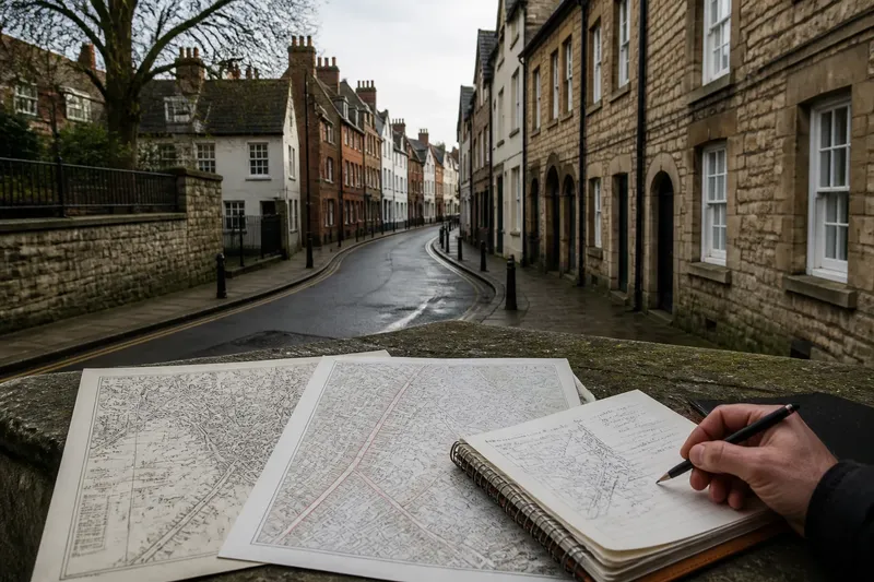
Use a topographic map with contour lines, a river or drainage layer, and named roads or footpaths to compare the landforms. An aerial image can clarify the shape of the ground, while a local transport map may show which settlements a route serves. Treat each map as a different view of the same network: one shows relief, another surface features, and another connections.
Begin at the route’s starting point and follow the line to its destination. At each change in terrain, check whether the route follows the valley floor, climbs a slope or tracks a ridge. Then note the features that may affect access: contour spacing, bridges, passes, settlements and junctions. This makes the map comparison concrete rather than relying on the route’s name.
For example, say you are comparing two invented routes from a village on a western slope to a market town beyond a ridge. The valley road descends to a river, follows its bends and crosses a bridge before turning uphill. The ridge path climbs from the village to a saddle, then descends towards the town. On the map, the valley floor appears gentle, while contours near the saddle are close together. Following those lines shows the trade-off: the valley road serves riverside places but adds a long bend; the ridge path links the endpoints more directly but requires a steep climb and passes above those settlements.
Choosing a route lens
Use a valley route to understand settlement patterns, access to a river corridor or connections between tributary districts. It is especially revealing when roads, paths and communities line the same low ground. Its limits matter too: a valley can funnel movement along its length while restricting crossings from bank to bank.
Use a ridge route to examine movement between basins, access to high passes or the relationship between distant slopes. It can make the structure of a wider landscape easier to see. Its steep approaches and distance from valley settlements may mean that it explains cross-country links better than everyday local access.
A hillside traverse offers a third possibility. It may follow a contour partway up a slope, connecting a settlement to a pass without dropping to the river or climbing all the way to the ridge. Such routes can be less obvious on a simple map, so check the path line and contours together.
Questions about route choice?
Is a valley route always easier?
No. A broad floor may be gentle, but a gorge, steep tributary or floodplain can make the route difficult or indirect. Compare the whole line and its crossings, not just the ground beside the river.
Does a ridge route always offer better views?
It often gives a wider outlook because it sits above neighbouring valleys. Trees, cloud, buildings or a broken crest can still restrict visibility, and a visible place may be separated by steep slopes.
What is the difference between a ridge and a watershed?
A ridge is a line of higher ground; a watershed is the boundary that separates drainage areas. They may follow similar ground, but “ridge” describes land shape while “watershed” describes where water drains.
How can I compare routes without walking them?
Use a topographic map to compare contour spacing, passes, river crossings and settlement links. Aerial images and local path maps can clarify the mapped line, though current local information is still needed when planning a real journey.
When comparing a river valley or ridge route, begin with the connection you want to understand, then follow the terrain and the junctions that make it possible. Check crossings as well as endpoints: a bridge, saddle or side-valley junction may explain why a route serves one settlement network and bypasses another.