Why Settlements Gather at Crossings
Why settlements gather at crossings: learn how bridges, fords and junctions concentrate movement, and how maps and local records can reveal why people stayed.
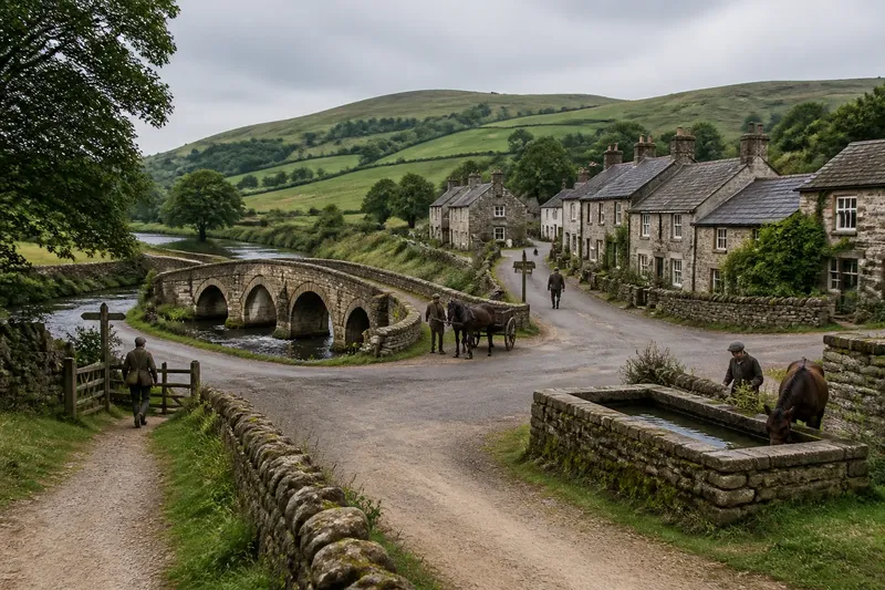
At a bridge, a footpath from the fields meets the road from the market town, and travellers pause where the routes converge. Why settlements gather at crossings often begins with this simple advantage: a crossing brings people, goods and decisions together. But a meeting point alone does not explain why a settlement lasts.
Where routes meet
A crossing connects two sides of an obstacle or joins routes that would otherwise remain separate. A river ford, a bridge, a mountain pass and a road junction each serve this purpose, but they impose different demands.
Look at the approaches as well as the crossing. Paths may funnel towards a narrow gap in a ridge or converge on a shallow stretch of river. The ground beyond matters too: a steep bank, wet meadow or abrupt change in slope can steer movement towards the easiest passage.
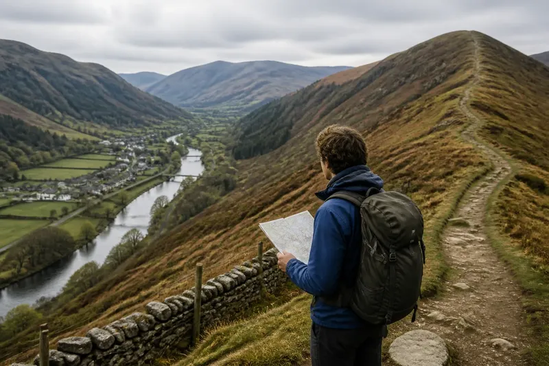
On a map, trace the routes rather than assuming the boldest line is the oldest or most important. On foot, note where paths become easier to follow, meet other routes or slow at difficult terrain. Comparing these observations helps distinguish a genuine meeting point from one that only looks central on paper.
The pause has a purpose
People stopping at a crossing create opportunities for exchange. A carrier can transfer goods between routes; a traveller can ask directions; a trader can reach customers arriving from different directions. A place to wait, find shelter or water an animal may add to the appeal.
The meeting need not be a formal market. A cluster of houses, an inn, a workshop or a landing place may serve passing travellers and local residents alike. Settlements can begin as practical support for movement before taking on a wider local role.
Yet a crossing can be busy without becoming a town. Travellers may have no reason to stop for long, or residents may already use another centre. Movement brings potential customers and connections, but it does not supply building land, work, services or a lasting community by itself.
Crossing types differ
A ford depends on water conditions and a suitable approach. It may suit walkers or livestock but be awkward for carts, and high water can make it unusable. A bridge offers a more defined passage, though its location may be constrained by banks, foundations and the routes leading to it.
A ferry can join shores where a permanent bridge is impractical, but it depends on boats, operators and access to landing places. A road junction avoids a river crossing, yet its appeal depends on whether the roads connect places people need to reach.
These distinctions shape a settlement’s character. A riverside crossing may support loading and unloading; a pass may offer shelter to people and animals; a crossroads may suit workshops serving travellers. The landscape does not dictate one outcome. It sets the practical choices people have to work with.
Why some crossings grow
Growth depends on more than the number of routes meeting. People need a reason to stop, and residents need a reason to remain. Useful land, water, shelter, work and access to other settlements can all contribute. The question is not simply whether a crossing is busy, but what evidence connects that movement to the place’s growth.
Does every crossing become a settlement?
No. Some crossings are exposed, difficult to reach or useful only to passing travellers. If people can cross quickly and have no reason to stay, activity may remain scattered rather than forming a lasting settlement.
Why might a bridge attract services?
A bridge concentrates movement at a dependable point, which can make trade and assistance easier to organise. Services still depend on local demand, usable building land and people able to provide them.
Can a crossing lose its importance?
Yes. A new route, a changed river channel or a different way of moving goods can divert traffic. If homes, employers and local services remain, the settlement may continue after the crossing matters less to travellers.
How can I identify an old meeting point?
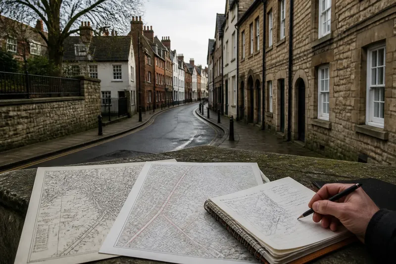
Look for roads approaching the same bridge or river bend, older street alignments and buildings near the route rather than only beside the water. Compare a local map with the ground, allowing for roads and crossings that may have shifted.
Evidence beyond the map
A map can show where routes converge, but it cannot by itself establish why people settled there or which feature came first. To compare explanations, look for evidence that would differ between them. If a crossing drew trade, records of a market, toll or riverside loading place may support that account. If nearby resources encouraged permanent residence, evidence of farms, wells, workshops or housing beyond the route may point in that direction.
- If several older roads converge at the crossing, then treat it as a likely movement hub; if they meet only on a modern map, compare older maps before drawing that conclusion.
- If a bridge, ford or ferry has a documented earlier location, then check whether the oldest streets lead towards it; if the routes point elsewhere, investigate whether the crossing shifted.
- If local records mention a market, toll or inn, then consider exchange and traveller services as possible causes of growth; if they do not, look for other evidence rather than assuming trade was absent.
- If wells, fields or early homes lie beyond the immediate route, then examine whether local resources supported residents; if buildings cluster only beside the crossing, consider a more travel-focused role.
- If a road was diverted or a river channel changed, then compare settlement features from before and after that change; if the settlement continued, local homes and work may have mattered as much as through-traffic.
- If a site is exposed or has little usable building ground, then assess whether shelter or nearby land offered an alternative reason to stay; if neither is evident, keep the explanation provisional.
Say you are examining an invented settlement called Millbridge. Your starting clues are a bridge, two roads meeting beside it, a row of houses and fields nearby; you have no records yet. First, you trace the roads on an old local map and find that both already met at the bridge, which supports the idea that it was an established route hub. Next, you inspect a parish map and find a mill and a well away from the bridge, suggesting that work and water could also support residents. Finally, you check the local archive catalogue and find no market or toll record, so you do not claim that trade created the settlement. The resulting account is narrower but better grounded: the crossing brought routes together, while the mill, well and fields offer separate reasons for people to remain; the available clues do not establish which came first.
Reading the settlement
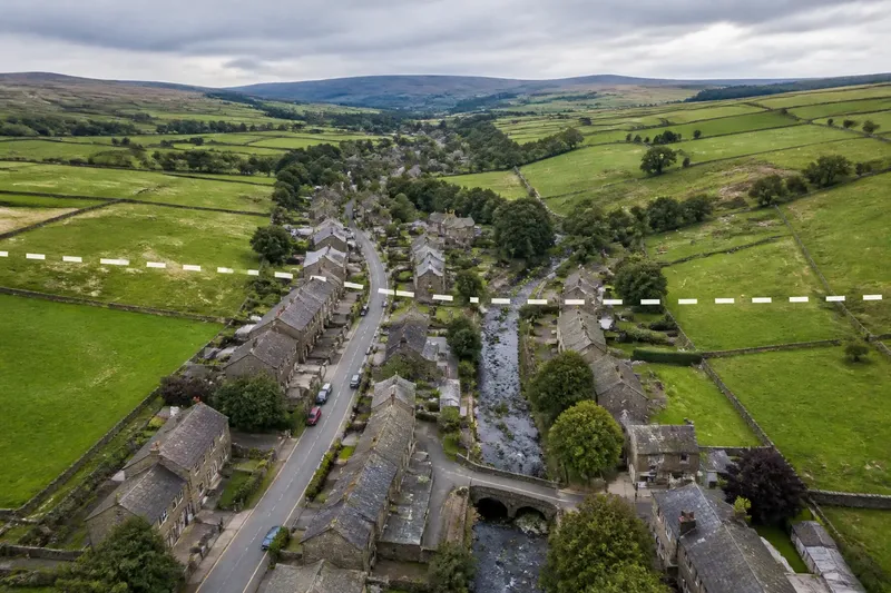
Growth also needs conditions that let people stay. Nearby farmland can support households; a safe water supply and usable building ground can make homes practical; local work can give residents reasons to remain when travellers move on. A crossing may link these resources to customers and suppliers, but it cannot replace them.
To understand why settlements gather at crossings, follow the routes into the place, then look beyond them towards fields, workplaces, water and land available for homes. Check each explanation against the features it predicts. The crossing may explain why people met there; local evidence helps show why some made it home.